
File:España-Canarias-loc.svg

Size of this PNG preview of this SVG file: 512 × 462 pixels. Ither resolutions: 266 × 240 pixels | 532 × 480 pixels | 851 × 768 pixels | 1,135 × 1,024 pixels | 2,270 × 2,048 pixels.
Oreeginal file (SVG file, nominallie 512 × 462 pixels, file size: 919 KB)
Ootline
| Descreeption |
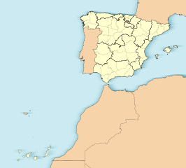
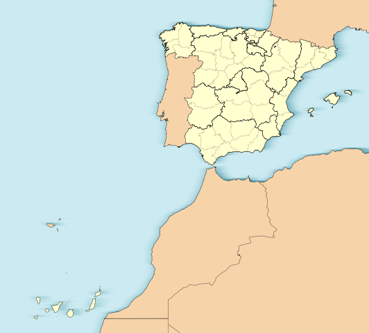
English: Location map of Spain with the Canary Islands
Equirectangular projection, N/S stretching 130 %. Geographic limits of the map:
Español: Mapa de localización de España con la Islas Canarias
Proyección equirrectangular (cilíndrica equidistante), N/S estirada 130 %. Límites geográficos del mapa:
|
|
| Date | ||
| Soorce | Own work based on: EspañaLoc.svg | |
| Author | Miguillen | |
| SVG genesis | This W3C-invalid locator map was created with Adobe Illustrator.
|
Licensin
Miguillen, the copyright holder of this work, hereby publishes it under the following license:
This file is licensed unner the Creative Commons Attribution-Share Alike 3.0 Unported license.
Attribution: Miguillen
- Ye are free:
- tae share – tae copy, distribute an transmit the wirk
- tae remix – tae adapt the wirk
- Unner the follaein condeetions:
- attribution – Ye must attribute the wirk in the manner specified bi the author or licensor (but nae in ony way that suggests that thay endorse ye or yer uise o the wirk).
- share alik – If ye alter, transform, or big upon this wirk, ye mey distribute the resultin wirk anly unner the same or seemilar license tae this ane.
File history
Clap oan ae date/time fer tae see the file aes it kithed at that time.
| Date/Time | Thummnail | Dimensions | Uiser | Comment | |
|---|---|---|---|---|---|
| current | 15:31, 3 Juin 2012 | | 512 × 462 (919 KB) | Miguillen | Quito isla inexistente en el golfo de Cádiz y retiro margen externo. |
| 12:45, 18 November 2010 |  | 512 × 462 (932 KB) | Miguillen | me he equivocado de archivo | |
| 12:44, 18 November 2010 |  | 512 × 398 (2.82 MB) | Miguillen | == {{int:filedesc}} == {{Information |Description={{en|Location map of Spain}} Equirectangular projection, N/S stretching 130 %. Geographic limits of the map: * N: ° N * S: ° N * W: ° O * E: ° O {{es|Mapa de localización de [[:es:E |
Eimage airtins
The follaein pages airts tae this image:
Global file uisage
The follaein ither wikis uise this file:
- Uisage on ar.wikipedia.org
- Uisage on ast.wikipedia.org
- Mallorca
- Península Ibérica
- Bermellar
- Saldeana
- Estorga
- Santiago de Compostela
- Melilla
- Ceuta
- Ríu Duero
- Ríu Esla
- Aldeadávila de la Ribera
- Masueco
- Vilvestre
- Lumbrales
- Pereña de la Ribera
- Bermillo de Sayago
- Fermoselle
- Alcañices
- Ciudad Rodrigo
- Salamanca
- Llión
- Zamora
- Albacete
- A Ponte de Domingos Flórez
- Alija del Infantado
- Toral de los Vados
- Santovenia de la Valdoncina
- Acebedo (Lleón)
- Algadefe
- Almanza
- Castrocontrigo
- Ríu Eria
- Teleno
- Ozaniego
- La Nora del Río
- Navianos de la Vega
- Cabrera de Almanza
- Calaveras de Abajo
- Calaveras de Arriba
- Castromudarra
- Espinosa de Almanza
- La Vega de Almanza
- Toreno
- Barcelona
- Ríu Órbigu
- Ríu Tuerto
- Zaragoza
- Logroño
- Ríu Deva
View mair global usage o this file.